This year the map consists of two maps covering different areas of Aurdalsåsen.
- Map 1: The area around Binnhovdsknatten.
- Map 2: The area around Bjørgovarden.
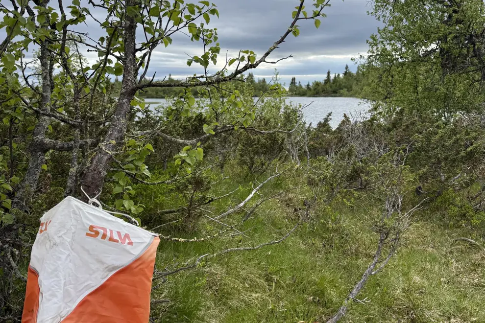
On the map, the posts are marked with post numbers 1 to 16 and the terrain with orienteering flags. The posts hang easily visible at crossroads, behind a rock or under a tree.
Each post has a letter hanging on it. When you have collected all the posts/letters, you must finally "puzzle" them together to form a solution word, which this year consists of three words. For the youngest, the posts are marked with a picture of an animal.
All children who participate in the competition and submit a participation slip will win a prize! Prizes for children and young people will be awarded on Sunday, October 5th from 12:00 to 13:00 at Damtjern.
Participant sheets with solution words are placed in the mailbox of Aurdal IF at Damtjern. The tour orientation ends on October 5th.
Hiking maps (NOK 200) can be purchased at Aurdal Fjellpark, Danebu Kongsgaard, Aurdal Fjordcamping and Kiwi Aurdal.
Aurdal Sports Association wishes everyone a really good trip and a great summer!
